|
|
Philippines, Leyte Fault Line, by Biliran on May 23, 2015 2:44:51 GMT 8, Philippines Fault Lines Map.

Map showing all the known active Fault Lines and Trenches in the Philippines.
Produced by www.phivolcs.dost.gov.ph
BiliranEarthquake Philippines Earthquake FaultLine Trench LeyteEarthquake Leyte
Philippines Fault Lines Map. Map showing all the known active Fault Lines and Trenches in the Philippines. Produced by www.phivolcs.dost.gov.phBiliranEarthquake Philippines Earthquake FaultLine Trench LeyteEarthquake Leyte |
|
|
|
Philippines, Leyte Fault Line, by Biliran on May 23, 2015 2:46:56 GMT 8, 
Here is a more close up look at the Fault Lines in southern and central Philippines.
Produced by www.phivolcs.dost.gov.ph
BiliranEarthquake Philippines Earthquake FaultLine Trench LeyteEarthquake Leyte
Here is a more close up look at the Fault Lines in southern and central Philippines. Produced by www.phivolcs.dost.gov.phBiliranEarthquake Philippines Earthquake FaultLine Trench LeyteEarthquake Leyte |
|
|
|
Philippines, Leyte Fault Line, by Biliran on May 23, 2015 2:50:55 GMT 8, 
A more detailed map showing the Central Leyte Fault Line going right through Leyte Island and up to Leyte Town.
BiliranEarthquake Philippines Earthquake FaultLine Trench LeyteEarthquake Leyte
A more detailed map showing the Central Leyte Fault Line going right through Leyte Island and up to Leyte Town. BiliranEarthquake Philippines Earthquake FaultLine Trench LeyteEarthquake Leyte |
|
|
|
Philippines, Leyte Fault Line, by Biliran on May 23, 2015 2:52:58 GMT 8, 
www.southernleytetimes.com/Earthquake_Hotspots.html
Another map showing the Central Leyte Fault Line going up towards Biliran Province and Calubian Municipality.
BiliranEarthquake Philippines Earthquake FaultLine Trench LeyteEarthquake Leyte
|
|
|
|
Philippines, Leyte Fault Line, by Biliran on May 23, 2015 2:55:20 GMT 8, 
This map shows a slightly different idea of how the Fault Line splits in two as it goes north through Leyte Island and goes along the coasts of Calubian and Biliran Island.
BiliranEarthquake Philippines Earthquake FaultLine Trench LeyteEarthquake Leyte
This map shows a slightly different idea of how the Fault Line splits in two as it goes north through Leyte Island and goes along the coasts of Calubian and Biliran Island. BiliranEarthquake Philippines Earthquake FaultLine Trench LeyteEarthquake Leyte |
|
|
|
Philippines, Leyte Fault Line, by Biliran on May 25, 2015 22:05:15 GMT 8, 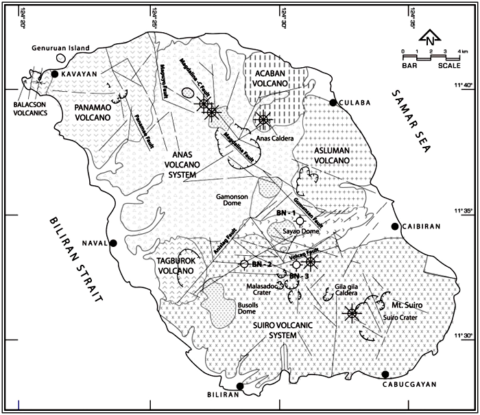
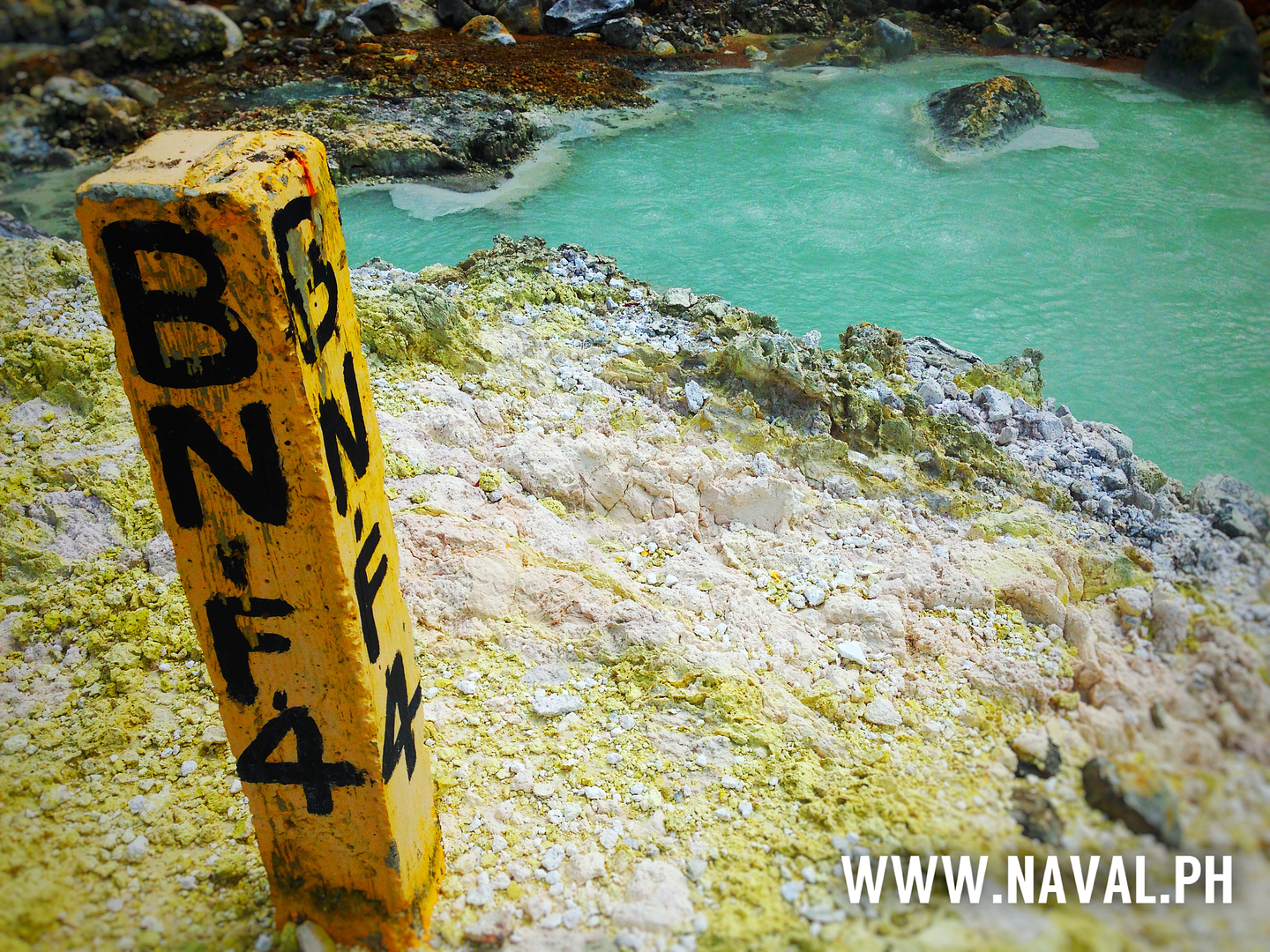
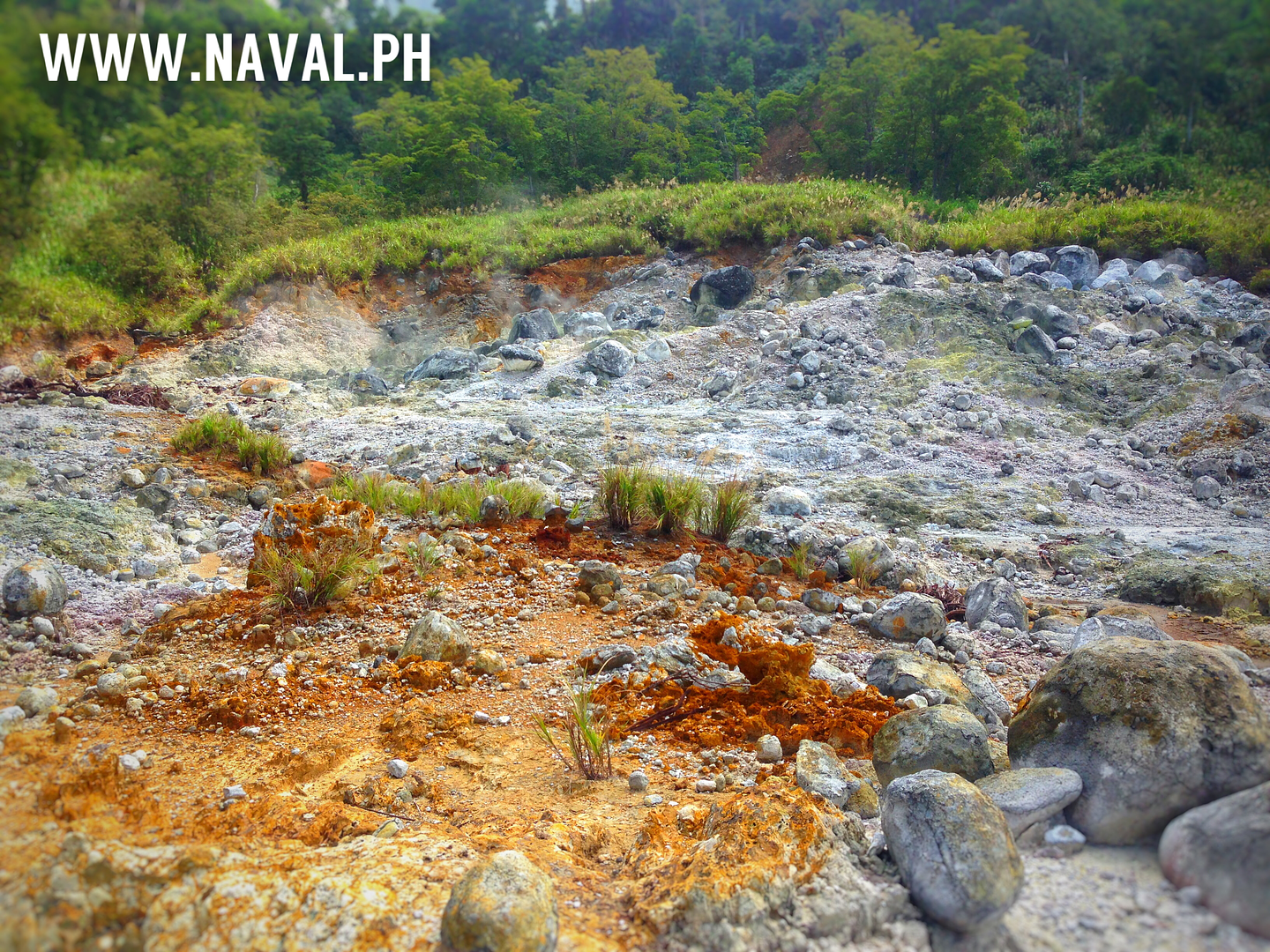
Biliran Island Volcanoes, Craters, Domes and Fault Lines.
Biliran Island Volcanoes, Craters, Domes and Fault Lines. |
|
|
|
|
|
Philippines, Leyte Fault Line, by Biliran on May 1, 2016 18:49:00 GMT 8, 
BILIRAN EARTHQUAKE
1st May 2016, 1:50pm, 3.3 Magnitude.
Most of the Earthquakes near Biliran are centered along the large Fault Lines that are believed to run under the seabed between Biliran Island and Calubian.
BILIRAN EARTHQUAKE 1st May 2016, 1:50pm, 3.3 Magnitude. Most of the Earthquakes near Biliran are centered along the large Fault Lines that are believed to run under the seabed between Biliran Island and Calubian. |
|
|
|
Philippines, Leyte Fault Line, by Biliran on May 19, 2016 23:41:43 GMT 8, 
A very interesting map showing the fault lines through Leyte Island and up to Biliran Province.
A very interesting map showing the fault lines through Leyte Island and up to Biliran Province. |
|