|
|
Biliran Maps, by Biliran on Mar 26, 2016 22:38:38 GMT 8, 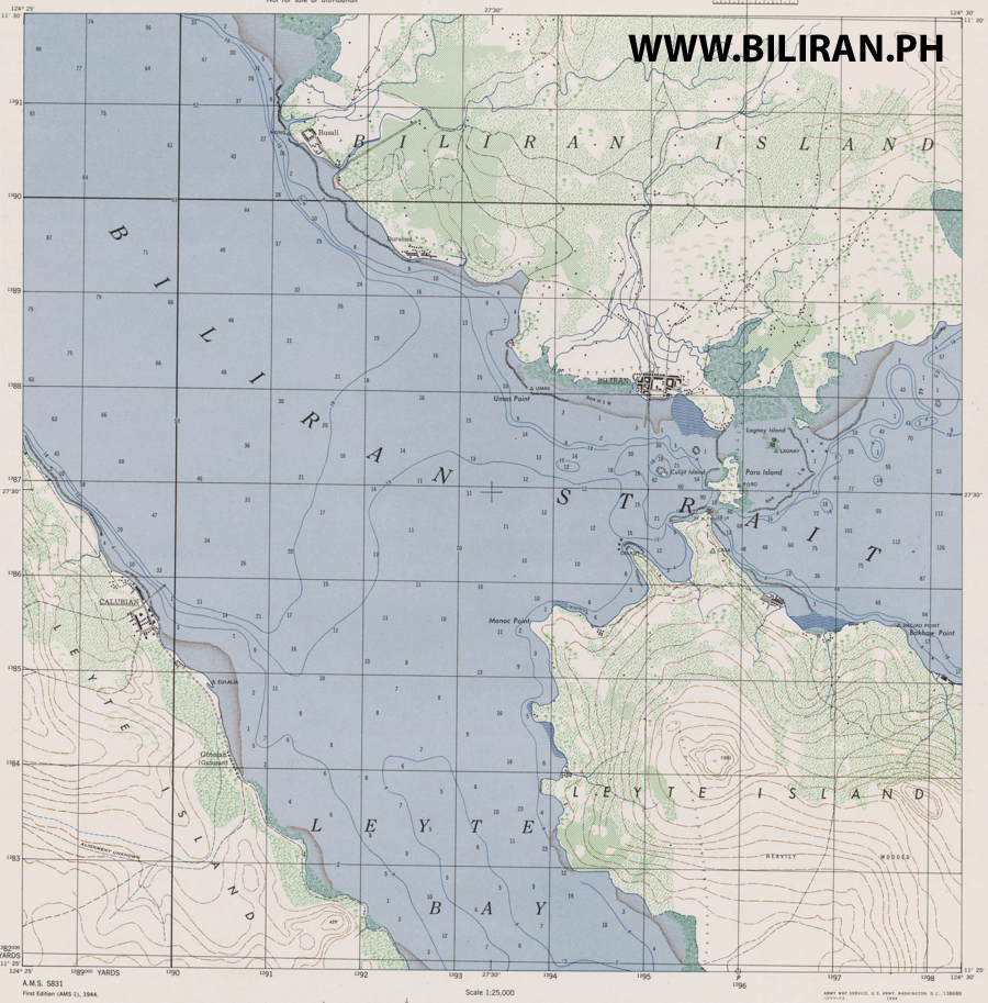
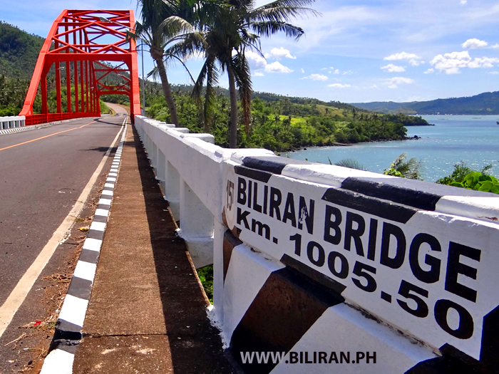
A very interesting old map produced by American Forces during WW2, showing Biliran Town, Leyte Island and Calubian Town. Notice this is before the Biliran Bridge, so at this time Biliran Island had no road link to the mainland in Leyte Province.
 A very interesting old map produced by American Forces during WW2, showing Biliran Town, Leyte Island and Calubian Town. Notice this is before the Biliran Bridge, so at this time Biliran Island had no road link to the mainland in Leyte Province. |
|
|
|
Biliran Maps, by Biliran on Mar 26, 2016 22:42:55 GMT 8, 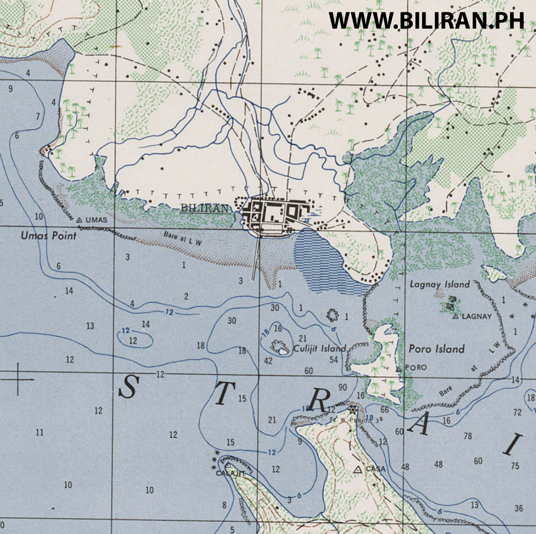
A close up of the WW2 map showing Biliran Town and the Biliran Strait before the Biliran Bridge was built between the mainland in Leyte Island and the Poro Island, so at this time a ferry boat service would have run between Biliran Town and Leyte Province.
 A close up of the WW2 map showing Biliran Town and the Biliran Strait before the Biliran Bridge was built between the mainland in Leyte Island and the Poro Island, so at this time a ferry boat service would have run between Biliran Town and Leyte Province. |
|
|
|
Biliran Maps, by Biliran on Mar 26, 2016 22:50:58 GMT 8, 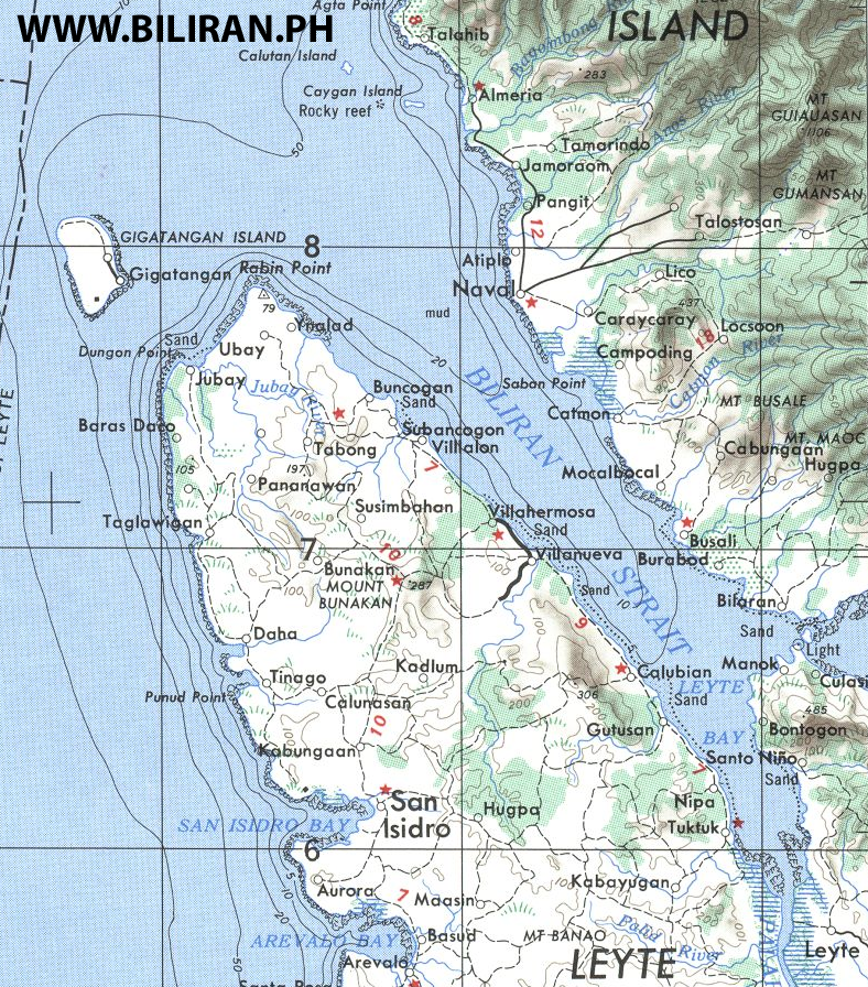
Map showing how close Higatangan Island is to Naval Town on Biliran Island and the distances that passenger boats travel between Naval and Higatangan Island, Villalon and Calubian Town.
 Map showing how close Higatangan Island is to Naval Town on Biliran Island and the distances that passenger boats travel between Naval and Higatangan Island, Villalon and Calubian Town. |
|


